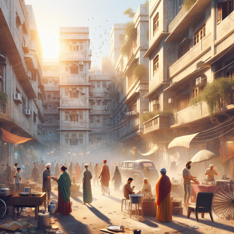
New Delhi — Ever tried finding Karim’s from Chawri Bazar Metro on foot? Then you know Old Delhi isn’t just confusing—it’s a cryptic maze that turns Google Maps into guesswork. But a change seems to be brewing. A recent update hints that navigating the serpentine alleys of Purani Dilli may soon shift from ordeal to adventure. Curious? So were we. Read on to see what’s headed our way, and why Old Delhi might finally be getting the clarity—and respect—it deserves.
Why Old Delhi navigation might actually make sense now
According to a new initiative referenced by Time Out Worldwide, plans are in the works to make maneuvering through Old Delhi’s famously chaotic lanes easier—yes, even for first-timers. The idea is to introduce enhanced street signage, walking maps visible throughout key junctions, and potentially QR-coded markers that allow smartphone users to understand exactly where they are in real time—consider it “live mode” for Chandni Chowk’s tightest gullies.
The move, although still in early stages, reportedly involves collaboration between local authorities like the North Delhi Municipal Corporation and tourism-focused groups. With millions visiting Chandni Chowk and Red Fort annually, this upgrade seems overdue. Locals say trials might start from Fatehpuri Masjid down to Dariba Kalan, focusing on high-footfall routes that are often clogged with carts, unaware tourists, and kids dodging cycles. The goal? Help people find their way without asking four different directions in Hinglish and ending up at the wrong kulfi shop.
The local life impact: less “bhool bhulaiya”, more clarity
This initiative, if rolled out thoughtfully, could be a gamechanger—especially for residents and small-scale vendors. Auto drivers often refuse rides into narrow gullies, pushing older customers to walk. With better markings and wayfinding tools, residents of Ballimaran could guide visitors with a quick screenshot instead of walking them halfway to Jain Temple.
For students at Zakir Husain College or LNJP Hospital interns hunting for post-duty snacks, this could mean more confident strolls—and less depending on unreliable GPS pings. “A shopkeeper near Nai Sarak said tourists always end up in front of his bangle store asking for directions to Khari Baoli,” locals report. “Sometimes we miss sales because we’re becoming unofficial guides.” More structure isn’t just about foreigners. It makes daily business smoother across the board.
Families visiting Gauri Shankar Mandir on a Sunday afternoon, when the streets are usually a jigsaw of piping hot parathas, chant sellers, and cycle rickshaws, could actually get to their spot without 20 minutes of trial and error. Not to mention—less bickering with fuming elders about who’s to blame for the wrong turn.
How we got here: from Mughal maps to modern madness
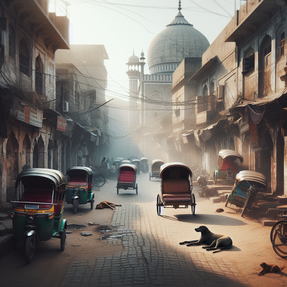
Old Delhi, built as Shahjahanabad in the 17th century, was never designed for four-wheelers, let alone digital signage. Its original plan included mohallahs, katras, and chowks known only to locals and a few archaeology buffs. Over decades, what began as Raja Bazaar turned into the modern-day labyrinth of Chandni Chowk—now a maddening blend of “yeh kis gali jaa raha hai?” and “arre yahi toh woh lassi waala tha!”
Unlike Connaught Place or even Karol Bagh, Old Delhi resisted modernization, partly to preserve its character. But the mismatch between foot traffic and navigational help has grown too wide. Other cities like Jaipur and Ahmedabad have made their heritage quarters more visitor-friendly with maps, signposts, and heritage loops. Perhaps Old Delhi’s time has finally come, with tech lending a hand to heritage. The move aims to strike a balance between preserving legacy and ensuring accessibility.
3 Tips for Navigating Old Delhi Like a Pro (For Now)
- Start early. Arrive around 9 AM before the real crowd pours in. The streets are quieter, and you’ll beat the spice cart jams.
- Bookmark landmarks. Remember spots like Sis Ganj Gurudwara, Town Hall, and Chunnamal Haveli—they’re lifesavers when you get turned around.
- Go offline. Download the Old Delhi area on Google Maps for offline use. Mobile data often drops in narrow lanes.
📍 Spot Check: This upcoming navigation upgrade is likely to impact areas around Jama Masjid, Chawri Bazar, Lal Kuan, and the stretch between Fatehpuri Masjid and Red Fort. Metro users can access these spots by exiting at Chandni Chowk or Chawri Bazar stations.
The Final Word
Purani Dilli will always be a layered city within a city, but it doesn’t mean it has to stay difficult. Smart, subtle aids like improved signage and digital guides can help locals and visitors alike without diluting Delhi’s character. If the plan takes off, wandering Old Delhi might become less stressful and more intentional. Is it possible we’ll soon roam Dariba Kalan without second-guessing every turn?
People Also Ask
Is this officially confirmed?
Yes, but implementation on ground may vary.
Who benefits the most?
Daily commuters, students and small shop owners.
Any hidden catch?
Check timings & local enforcement.
Have something to say? Drop a comment below!
#Delhi #NorthDilli #CityPlanning #NavigationTips #UrbanUpdate